“Jerusalem mixed”
is a citizen science project for the participation of citizens (and students in particular) in monitoring and mapping activities in the urban space, to increase involvement and interest in dealing with the challenges of the climate crisis and to motivate actions oriented towards data-based solutions. The activity in the project includes measuring, processing, analyzing and mapping data at high resolutions in space and time. This, while using mobile sensor kits and collaborative GIS – MMG (Geographic Computing Systems) mapping tools. The project focuses on mapping relevant parameters in climate, environment, health and wellness aspects along sustainable movement routes (walking, cycling, transportation public etc.) in everyday life, with an emphasis on urban heat islands, shade, climatic comfort, walkability, and air pollution/greenhouse gas emissions.
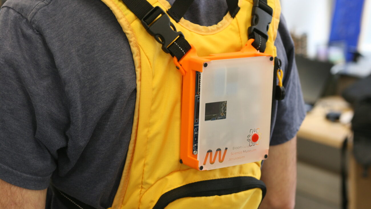
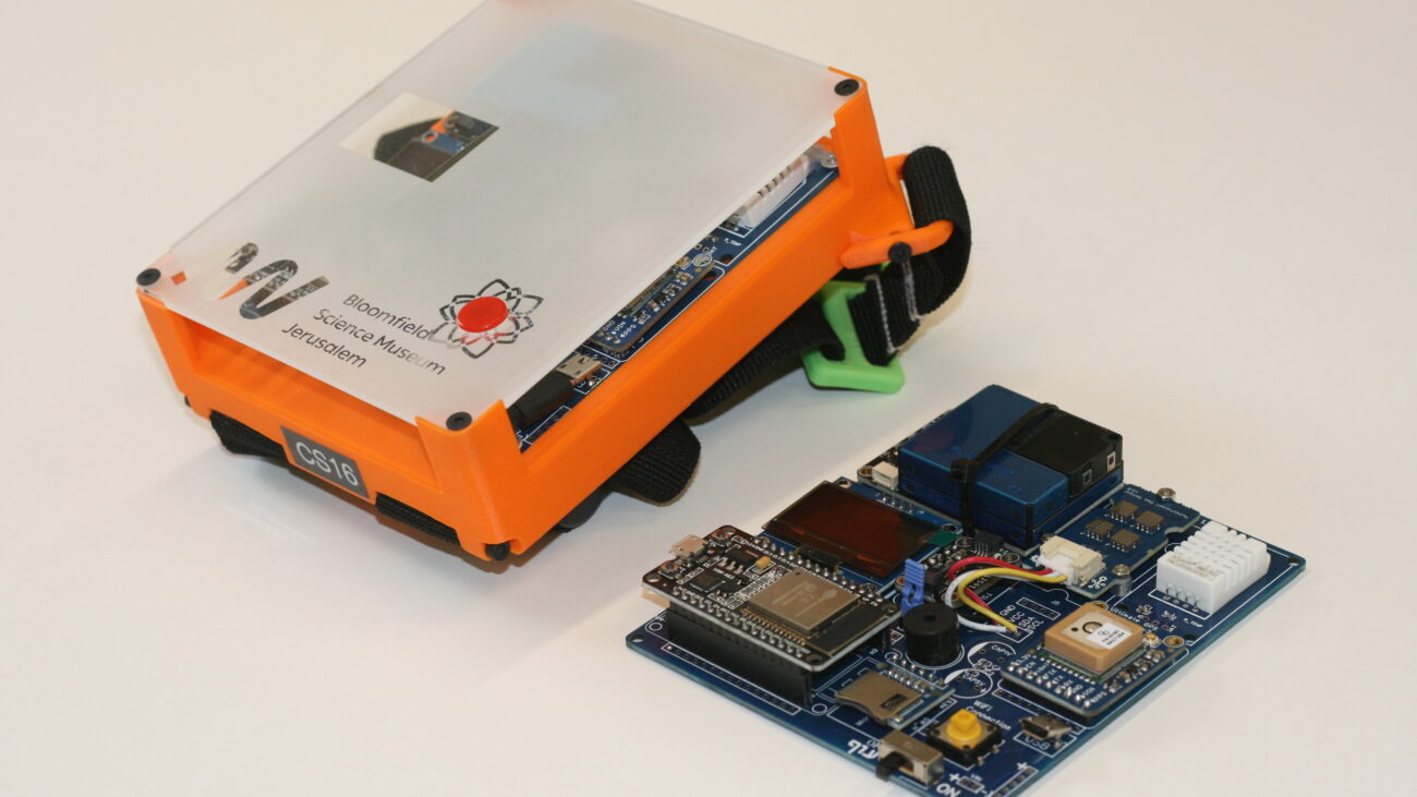
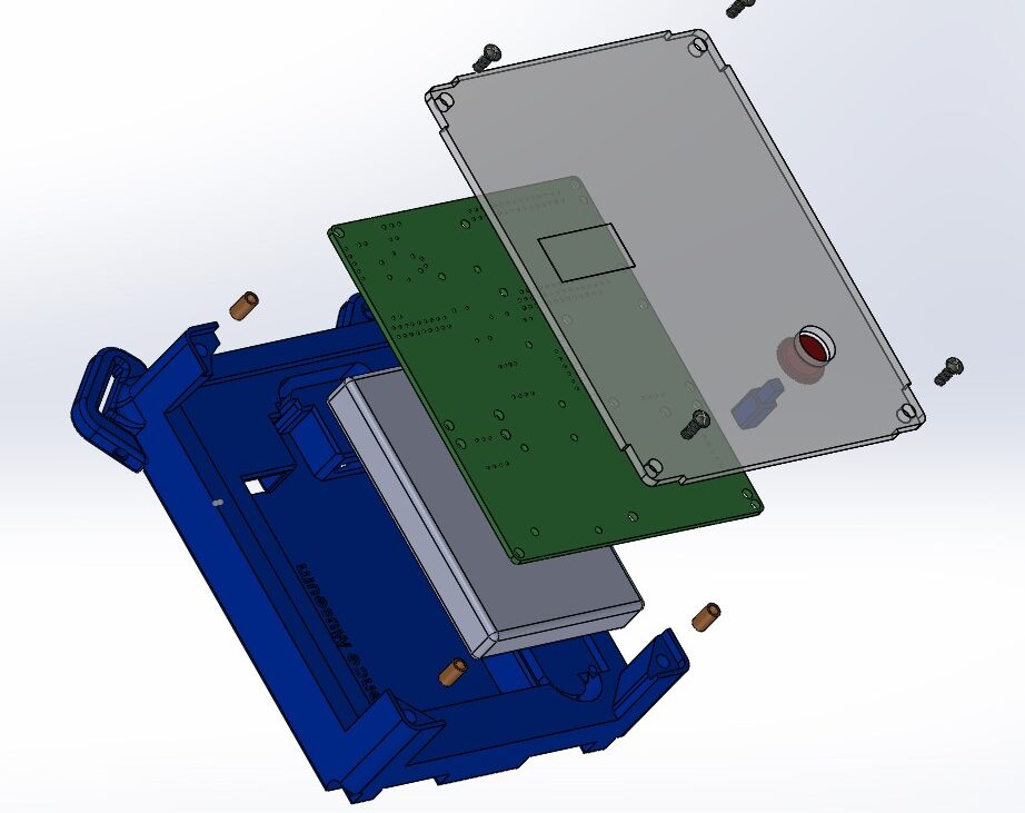
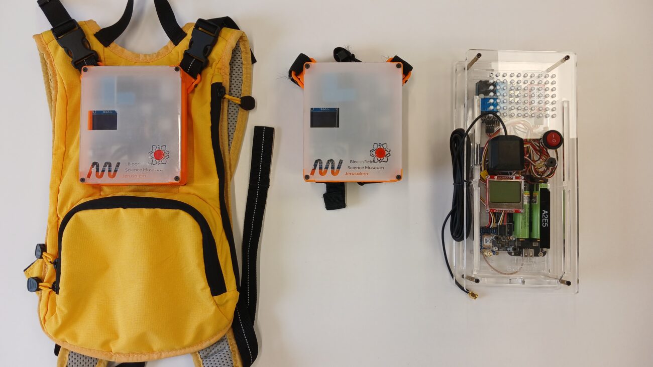
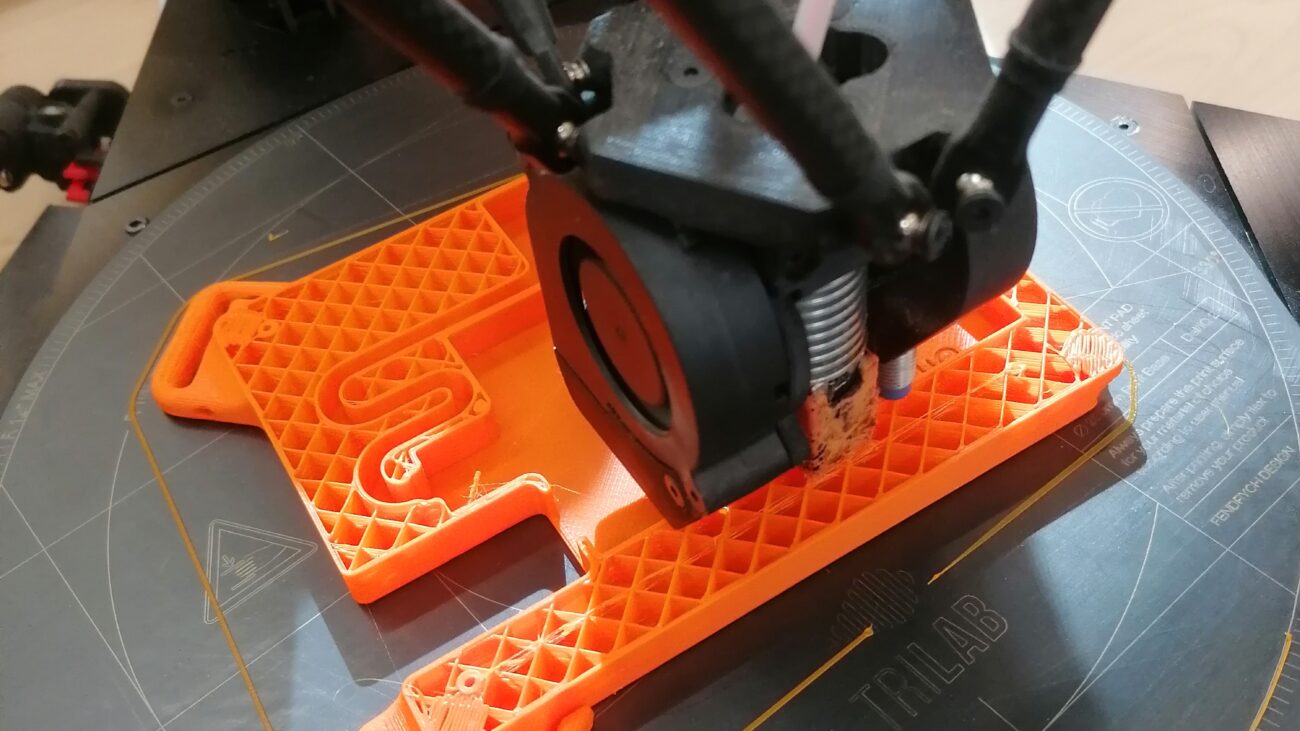
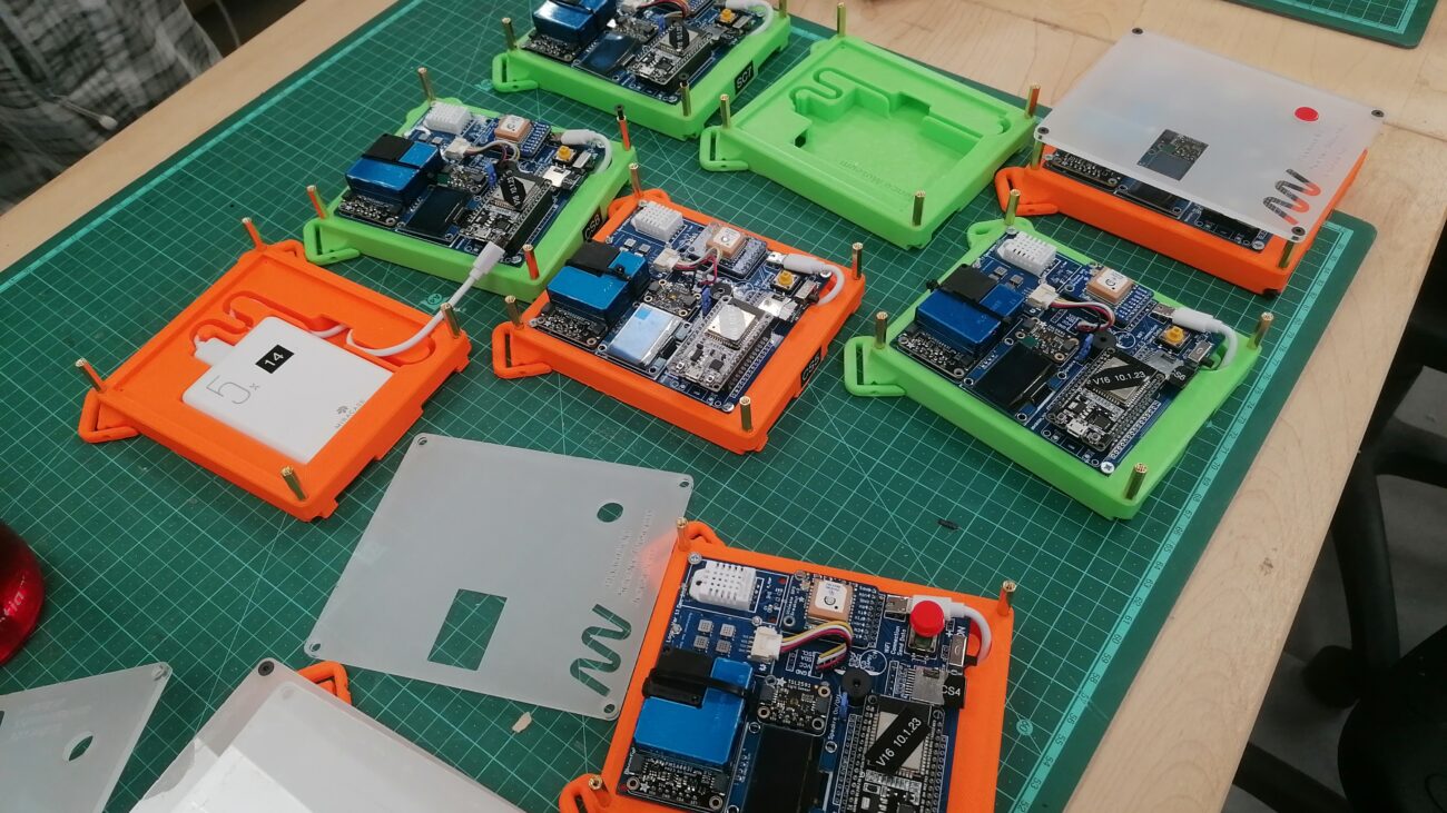
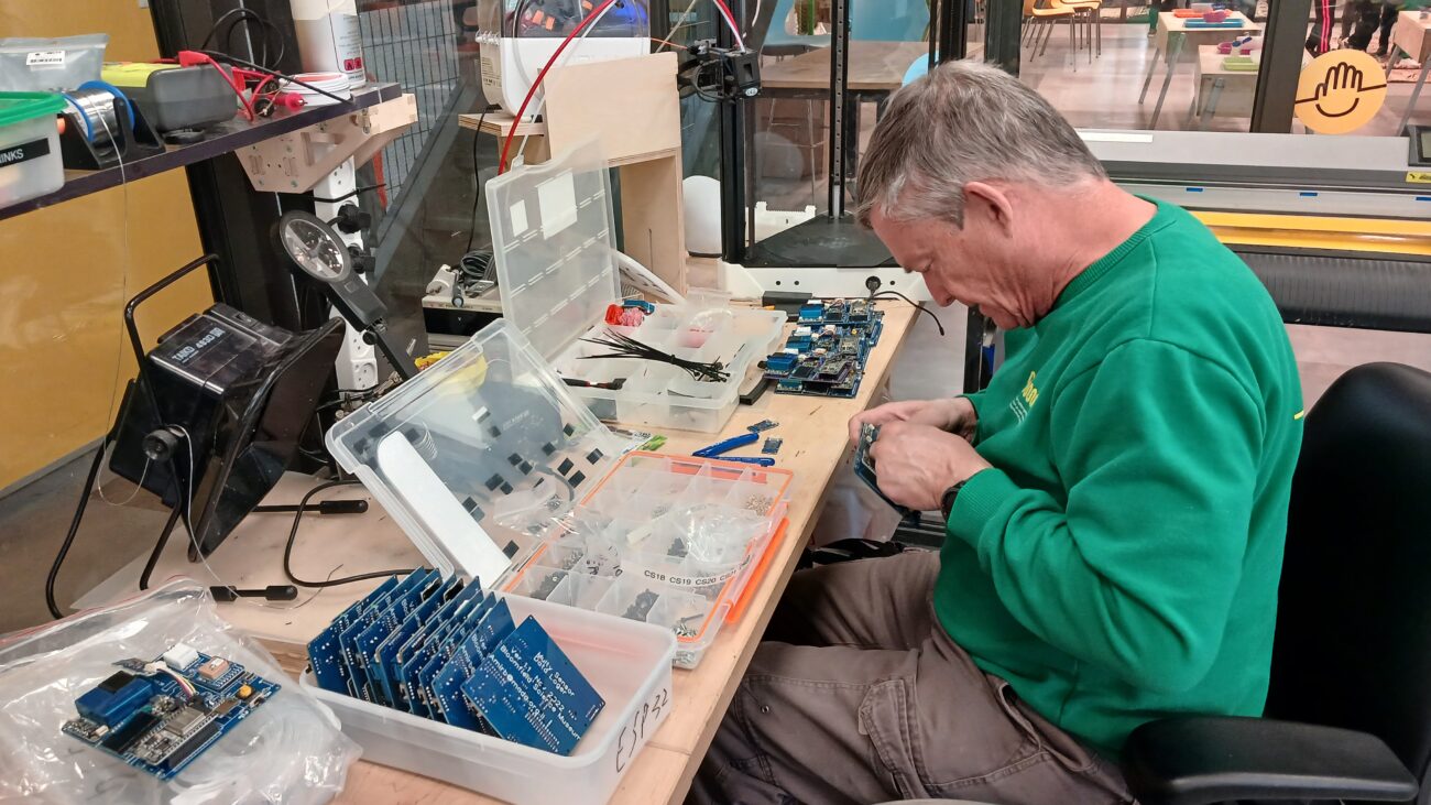
The museum designed and developed the mobile sensor kit in three stages of prototypes that underwent improvements following operation by students. Today, the assessments are used by the museum in ongoing educational activities and have even been published on the national platform of MOT – Center for Educational Technology.